
By Go North Alliance
One concern we frequently hear about a Northern Route for Corridor H is its potential impact on Thomas’s drinking water reservoir, which is located north of Route 90 near its intersection with Route 219.
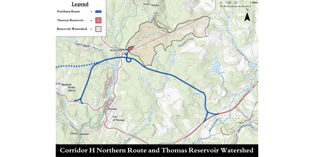
Because the West Virginia Division of Highway’s design for the Northern Route has not been made public yet, the Go North Alliance investigated this issue with the help of Barry Sulkin, an environmental consultant who primarily focuses on water quality and has worked on highway projects before. WVDOH is expected to release its design as part of the Draft Environmental Impact Statement on Oct. 5. The analysis used Friends of Blackwater’s design of their preferred Northern Route, pictured below:
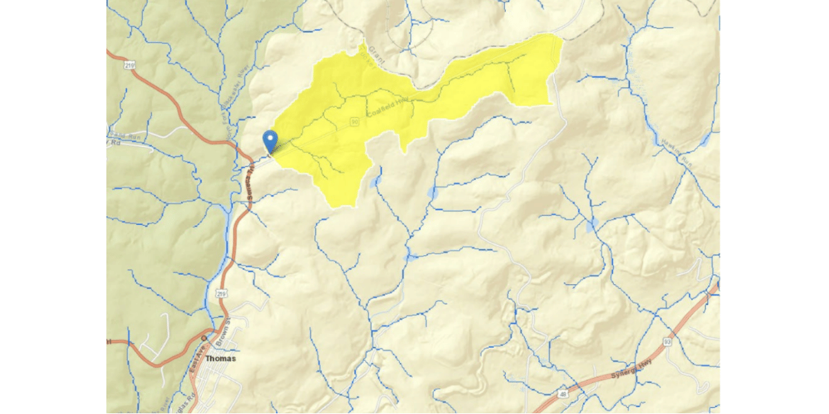
Sulkin analyzed Friends of Blackwater’s conceptual northern route using a U.S.G.S. analytical tool called StreamStats. StreamStats was used to delineate the watershed that supplies the Thomas reservoir and identify the land area where runoff and streamflow contribute water to it.
The analysis showed that the reservoir’s watershed extends primarily northeast of the reservoir and comes from an unnamed stream that follows Route 90 heading southwest. The whole watershed drains approximately 1.2 square miles.
FOB’s proposed Northern Route was overlaid on the watershed map and an adjustment was made to move the route a bit to the south to stay completely out of the watershed.
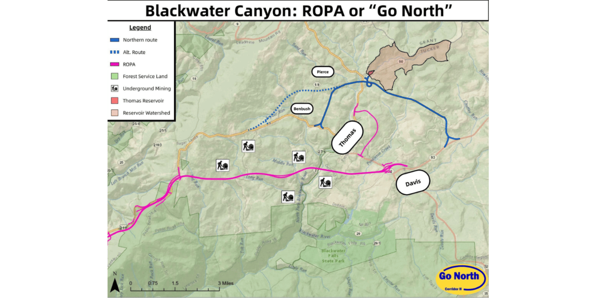
In short, readily-available tools demonstrate that Corridor H’s Northern Route can feasibly be created without disturbing the Thomas Reservoir’s watershed. The analysis demonstrates that a northern route can be designed to avoid the reservoir watershed altogether while also avoiding many of the serious impacts associated with the currently preferred “ROPA” through the Thomas-Davis area.
As WVDOH prepares to release its own northern alternative this fall, the Thomas reservoir should not be treated as an obstacle that rules out going north.