By Susan Rosenblum
Stream water quality data that has been collected by a dozen dedicated citizen scientists over the past 12 months will soon be added to the Conservation Hub GIS maps maintained by the Allegheny-Blue Ridge Alliance.
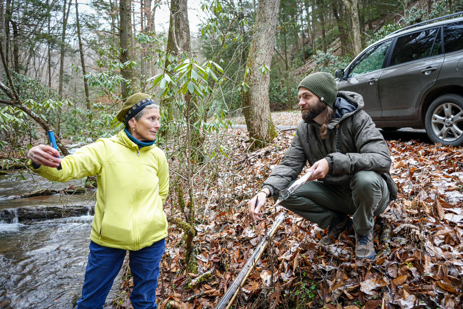
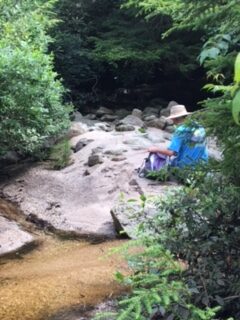
The data is collected on a biweekly or monthly basis on streams that are, or may be, affected by construction of Corridor H, particularly along the route proposed by the West Virginia Division of Highways between Parsons and Davis.
Measurements are taken of temperature, pH, turbidity, and conductivity, and the training, equipment, and ongoing technical support for this project are provided by the West Virginia Highlands Conservancy’s partner organizations, Friends of Cheat and West Virginia Rivers Coalition.
The data being gathered now will be used as a baseline prior to the start of any road construction and will continue to be collected throughout construction to help identify any detrimental effects on the watersheds along the Corridor H route.
Water testing locations, dates, and results will be added as a layer on the Allegheny-Blue Ridge Alliance’s Conservation Hub mapping tool and will provide a clear indicator to the West Virginia Division of Highways that citizens and organizations are closely watching the environmental effects of Corridor H.
Check out the Allegheny-Blue Ridge Alliance’s Conservation Hub and the wealth of information that it contains regarding Corridor H and other environmental issues at www.abralliance.org